Engineer Scientist Traveller
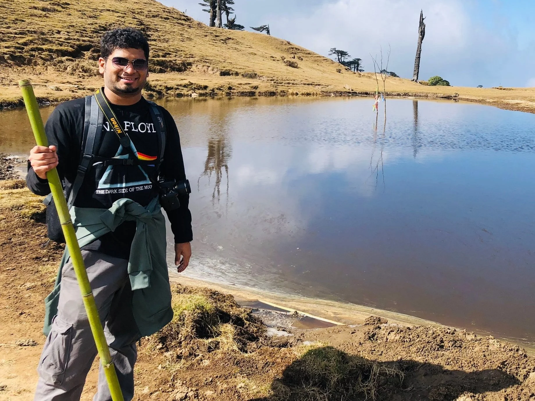
Hailing from the Bengal delta, aka Bangladesh, I am a Water Resources Engineer by training and a researcher by profession. As I take baby steps every day to become a better researcher, I also strive to make a meaningful impact in the lives of the most vulnerable to extreme environmental events. A vision to change the lives of vulnerable coastal communities in a positive way is what drives me to be a scientist. When I am not researching, you can find me hiking, taking star photos or listening to Pink Floyd. Feel free to check out the rest of the website to learn more about me and my research!

My research focuses on improving water level estimation using coastal hydrodynamic modeling by merging satellite altimetry data. I use a storm surge model named ADCIRC to simulate how high the water is going to be in the coastal areas and try to improve the model performance by incorporating observations from various earth observation satellites. The improvement of the model performance would result in better predictability of water height in coastal areas, which can be tremendously useful for coastal communities around the world, especially during extreme events like hurricane storm surges.
Highlights
I joined Princeton University/NOAA/OAR/Geophysical Fluid Dynamics Laboratory (GFDL) as a Postdoctoral Research Associate starting from August 04, 2025. I am very excited about this chapter of my career. Stay tuned for the details about the work I will be doing at GFDL.
I just graduated with my Ph.D., you can now officially call me Dr. Soelem Aafnan Bhuiyan! I am also very excited about the next chapter of my career. I will be joining Princeton University/NOAA/OAR/Geophysical Fluid Dynamics Laboratory (GFDL) as a postdoctoral researcher. I am glad to be a part of such a monumental research organization and very much look forward to it.
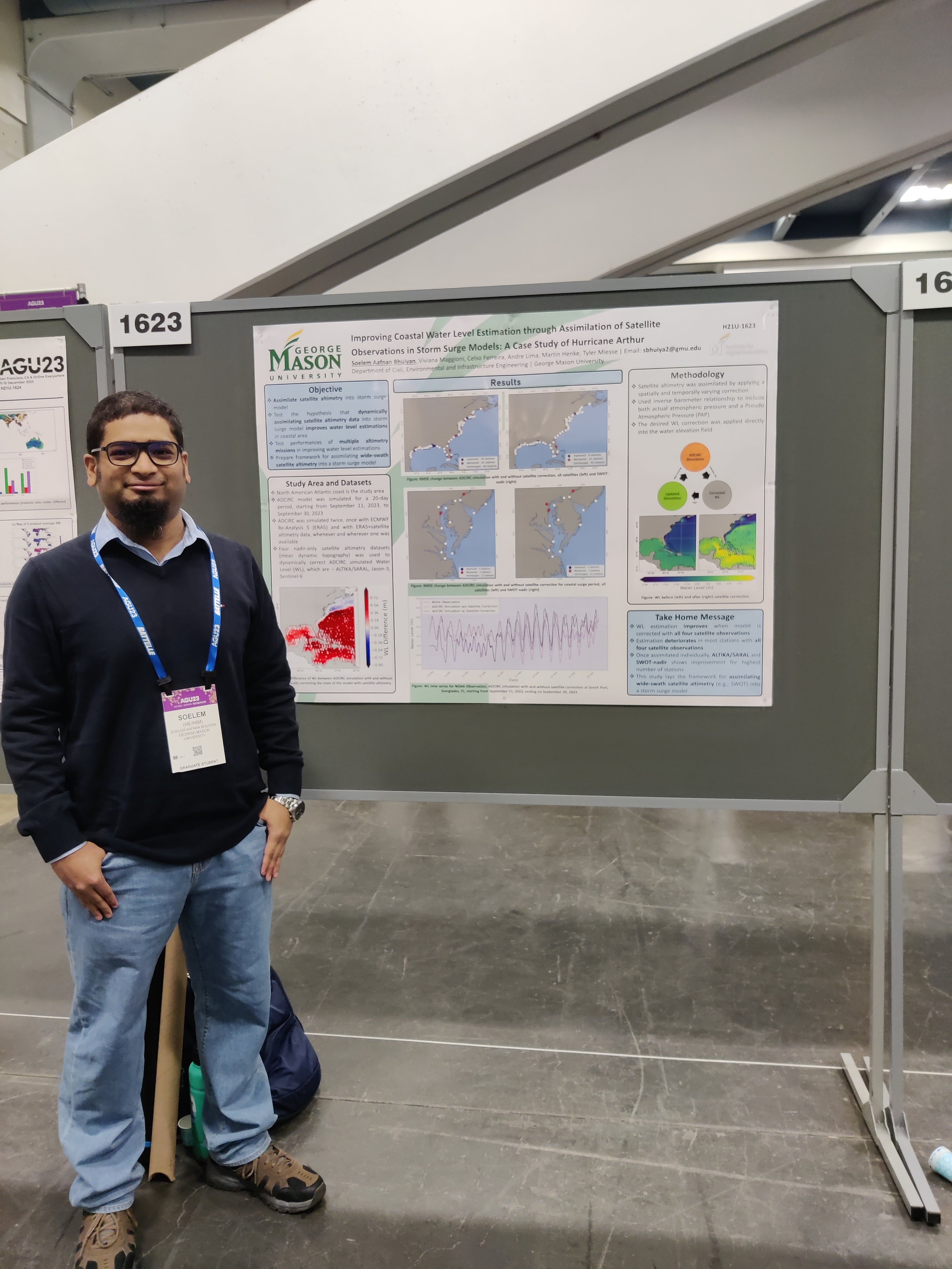
Interested in my research? I will be presenting my poster on “Improving Global Storm Surge Modeling in Coastal Areas by Leveraging the SWOT Mission” at AGU Fall Meeting 2024, Washington D.C. Please stop by! Here are the details of my presentation -
Abstract ID and Title: 1539456: Improving Global Storm Surge Modeling in Coastal Areas by Leveraging the SWOT Mission
Paper Number: H21J-0768
Presentation Type: Poster
Session Number and Title: H21J: Advancements in Remote Sensing, Hydrologic Modeling, Data Assimilation, and Machine Learning for Terrestrial Water Cycle V Poster
Session Date and Time: Tuesday, 10 December 2024; 08:30 - 12:20 EST
Location: Convention Center, Hall B-C (Poster Hall)
I will be participating in the CIROH HydroLearn January 2025 Hackathon. I plan on posting about my experience there, stay tuned
I was awarded the Daniel R. Bannister PhD Retention Fellowship from the George Mason University College of Engineering! More details coming soon
I got featured in George Mason University’s front page news! (Link)
My first first-author paper titled - “A direct insertion technique to assimilate sea surface height into a storm surge model” got published in Journal of Hydrology (February 2024)
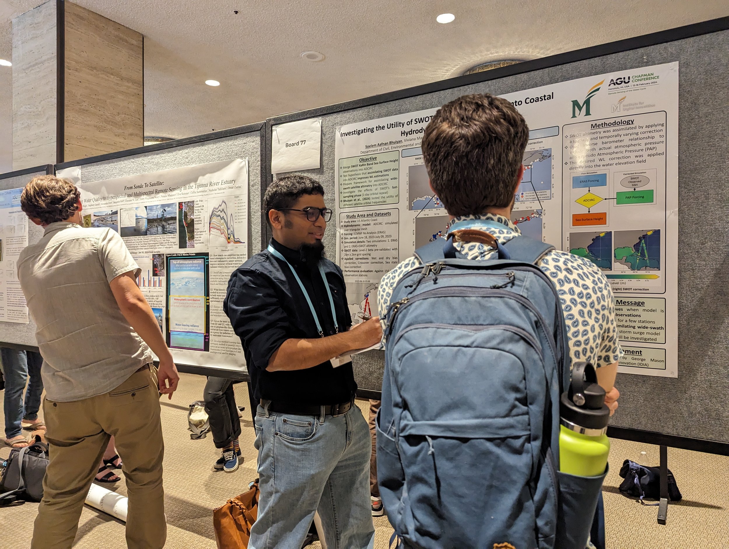
Presented a snippet of my research at AGU Chapman Conference in Honolulu, HI, titled “Investigating the utility of SWOT fast sampling phase into coastal hydrodynamic modeling” (February 2024)
Successfully completed NOAA-NWC Summer Institute as a fellow (July 2023)
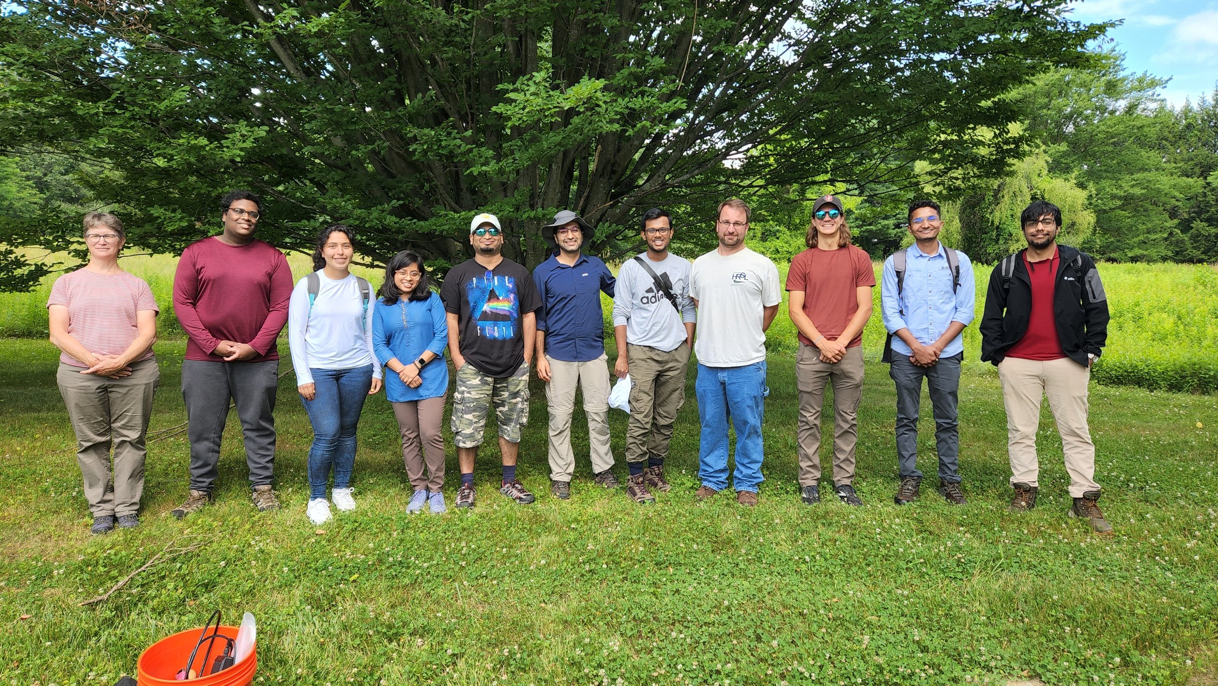
Successfully completed NASA SMAPVEX - 2022 Field Campaign at Millbrook, NY (July 2022)
A snippet of my research
Whoa! Look at those red lines appearing!
What you see here is the difference between two ADCIRC simulated water levels. One simulation was simply forced with ERA5 forcings and Earth’s tidal constituents, while the other included all these but also included corrections in the simulated water level observed by satellites, e.g., NASA’s SWOT mission, Jason-3, Sentinel-6 Michael Freilich, and ALTIKA/SARAL. As the video progresses, you see the corrections being applied to the model with each and every satellite overpass made over the model domain. These corrections mean that the satellite observations are better capable of capturing localized variations in the water levels, which are otherwise difficult to emulate in a mathematical model, and incorporating those fluctuations in this approach can enable the ADCIRC model to better predict the height of water in the coastal areas.


